
1912 Map of Ivanpah
USGS Topo · Published 1912About this map
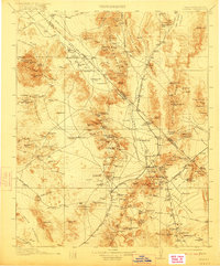
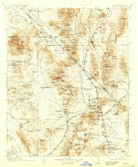
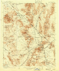
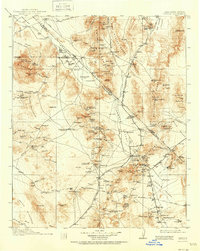
The high desert along the California-Nevada border is dominated here by a dense network of early 20th-century mining operations and supporting rail infrastructure. Principal settlements like Good Springs and Ivanpah serve as hubs for a landscape riddled with industrial activity, including the Yellow Pine Mine, Standard Mine No 1, and the Copper World Mine. The presence of an abandoned copper smelter near Valley Wells suggests the shifting fortunes of the regional mineral economy during this era.
Find a feature on this map
161 named features on this map. Tap any name to fly to it.
Don’t see what you’re looking for? This feature index may not catch every label — zoom into the map to look around manually.
Map Details
Editions of this 1912 Ivanpah Map
5 editions found
Other maps of this area

1886 · Camp Mohave
USGS Topo · 1:250,000

1886 · Saint Thomas
USGS Topo · 1:250,000

1892 · Camp Mohave
USGS Topo · 1:250,000

1893 · Saint Thomas
USGS Topo · 1:250,000

1907 · Las Vegas
USGS Topo · 1:250,000

1908 · Furnace Creek
USGS Topo · 1:250,000

1908 · Las Vegas
USGS Topo · 1:250,000

1910 · Furnace Creek
USGS Topo · 1:250,000

1910 · Ivanpah
USGS Topo · 1:250,000

1926 · Nelson
USGS Topo · 1:96,000