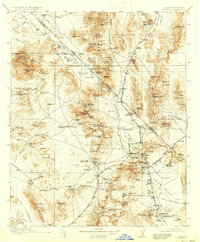
1912 Map of Ivanpah
USGS Topo · Published 1937About this map
Mining operations and early twentieth-century rail lines dominate this landscape spanning the California-Nevada state line. The Spring Mountain Range and Kingston Range are dotted with dozens of active claims, including the Potosi Mine, Yellow Pine Mine, and the Silver Kingston Mine. This era was defined by the extraction of minerals like turquoise and copper, evidenced by the Copper Smelter (Abandoned) near Valley Wells.
Find a feature on this map
173 named features on this map. Tap any name to fly to it.
Don’t see what you’re looking for? This feature index may not catch every label — zoom into the map to look around manually.
Map Details
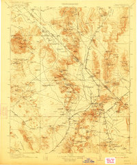
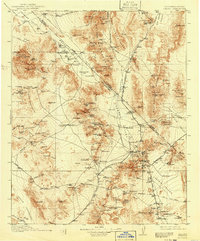
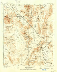
Editions of this 1912 Ivanpah Map
5 editions found
Other maps of this area

1886 · Camp Mohave
USGS Topo · 1:250,000

1886 · Saint Thomas
USGS Topo · 1:250,000

1892 · Camp Mohave
USGS Topo · 1:250,000

1893 · Saint Thomas
USGS Topo · 1:250,000

1907 · Las Vegas
USGS Topo · 1:250,000

1908 · Furnace Creek
USGS Topo · 1:250,000

1908 · Las Vegas
USGS Topo · 1:250,000

1910 · Furnace Creek
USGS Topo · 1:250,000

1910 · Ivanpah
USGS Topo · 1:250,000

1912 · Ivanpah
USGS Topo · 1:250,000