
1956 Map of Ivanpah
USGS Topo · Published 1957About this map
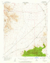
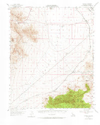
Mining and rail activity define this mid-century high desert landscape along the California and Nevada border. The Union Pacific railroad cuts a diagonal path through the valley, serving small stops like Nipton, Moore, and Brant. To the east, the New York Mountains and Ivanpah Mountains are heavily marked by the region's hard-rock extraction history. Industrial sites such as the Carbonate King Mine near Kokoweef Peak and the Morning Star Mine sit among numerous shafts and prospects.
Find a feature on this map
49 named features on this map. Tap any name to fly to it.
Don’t see what you’re looking for? This feature index may not catch every label — zoom into the map to look around manually.
Map Details
Editions of this 1956 Ivanpah Map
3 editions found
Other maps of this area

1910 · Ivanpah
USGS Topo · 1:250,000

1912 · Ivanpah
USGS Topo · 1:250,000

1942 · Ivanpah
USGS Topo · 1:250,000

1947 · Kingman
USGS Topo · 1:250,000

1948 · Kingman
USGS Topo · 1:250,000

1954 · Kingman
USGS Topo · 1:250,000

1955 · Kingman
USGS Topo · 1:250,000

1955 · Mescal Range
USGS Topo · 1:62,500

1955 · Roach Lake
USGS Topo · 1:62,500

1955 · Mid Hills
USGS Topo · 1:62,500