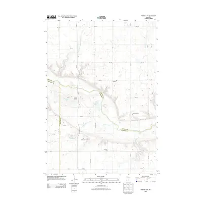
2013 Map of Iverson Lake
USGS Topo · Published 2013About this map
The Minnesota River winds through a deep, glacial-cut valley at the borders of Redwood, Renville, and Yellow Medicine counties. This landscape is defined by the high bluffs overlooking Nordeen Slough and the winding course of Boiling Spring Creek. The upland plains are dominated by an orderly grid of agricultural roads, including Booth Ave and 400th St, while the river valley itself remains more complex with natural drainage features like Echo Creek and Sacred Heart Creek.
Find a feature on this map
31 named features on this map. Tap any name to fly to it.
Don’t see what you’re looking for? This feature index may not catch every label — zoom into the map to look around manually.
Map Details
Editions of this 2013 Iverson Lake Map
This is the sole edition of this map. No revisions or reprints were ever made.
Other maps of this area
1952 · Redwood Falls
USGS Topo · 1:62,500
1953 · New Ulm
USGS Topo · 1:250,000
1957 · New Ulm
USGS Topo · 1:250,000
1958 · New Ulm
USGS Topo · 1:250,000
1965 · Echo
USGS Topo · 1:24,000
1965 · Lone Tree Lake
USGS Topo · 1:24,000
1965 · Belview
USGS Topo · 1:24,000
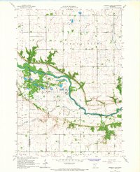
1965 · Iverson Lake
USGS Topo · 1:24,000
1965 · Sacred Heart
USGS Topo · 1:24,000
1965 · Renville
USGS Topo · 1:24,000