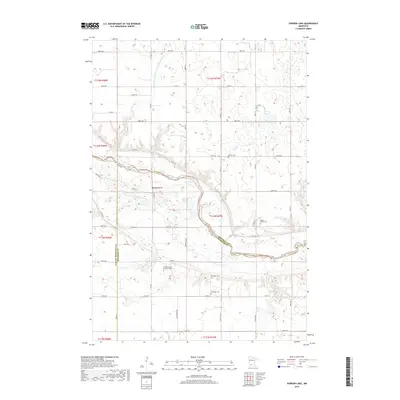
2019 Map of Iverson Lake
USGS Topo · Published 2019About this map
The Minnesota River carves a deep valley through this agricultural landscape, forming the natural border between Renville and Yellow Medicine counties as it meets Redwood County. This corridor is characterized by its complex hydrology, including the Nordeen Slough and multiple tributaries like Boiling Spring Cr and Echo Cr. The upland prairie is divided by an extensive network of drainage projects such as County Ditch Number One Hundred Nineteen, which supports the region's farming economy.
Find a feature on this map
42 named features on this map. Tap any name to fly to it.
Don’t see what you’re looking for? This feature index may not catch every label — zoom into the map to look around manually.
Map Details
Editions of this 2019 Iverson Lake Map
This is the sole edition of this map. No revisions or reprints were ever made.
Other maps of this area
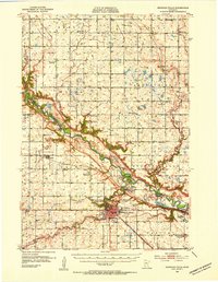
1952 · Redwood Falls
USGS Topo · 1:62,500
1953 · New Ulm
USGS Topo · 1:250,000
1957 · New Ulm
USGS Topo · 1:250,000
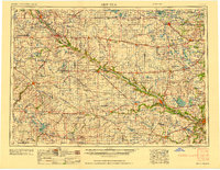
1958 · New Ulm
USGS Topo · 1:250,000
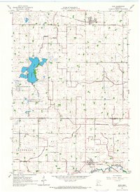
1965 · Echo
USGS Topo · 1:24,000
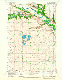
1965 · Lone Tree Lake
USGS Topo · 1:24,000
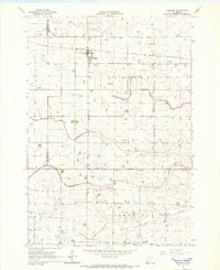
1965 · Belview
USGS Topo · 1:24,000
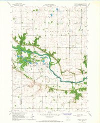
1965 · Iverson Lake
USGS Topo · 1:24,000
1965 · Sacred Heart
USGS Topo · 1:24,000
1965 · Renville
USGS Topo · 1:24,000