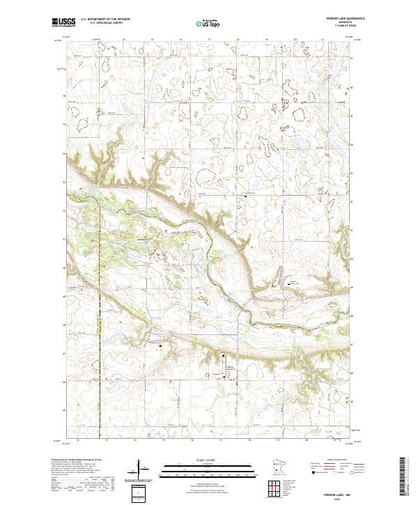
2022 Map of Iverson Lake
USGS Topo · Published 2022About this map
The Minnesota River carves a deep valley through the agricultural landscape of Renville and Redwood counties in this 2022 survey. The river's meandering course is shadowed by the Minnesota River-Trl, which follows the northern bank near Middag Knutea. The surrounding prairie is defined by a rigid grid of rural roads such as 800th Ave and Co Rd 17, reflecting a long history of intensive land management. This management is further evidenced by significant hydraulic alterations like County Ditch Number One Hundred Nineteen.
Find a feature on this map
59 named features on this map. Tap any name to fly to it.
Don’t see what you’re looking for? This feature index may not catch every label — zoom into the map to look around manually.
Map Details
Editions of this 2022 Iverson Lake Map
This is the sole edition of this map. No revisions or reprints were ever made.
Other maps of this area

1952 · Redwood Falls
USGS Topo · 1:62,500

1953 · New Ulm
USGS Topo · 1:250,000

1957 · New Ulm
USGS Topo · 1:250,000

1958 · New Ulm
USGS Topo · 1:250,000

1965 · Echo
USGS Topo · 1:24,000

1965 · Lone Tree Lake
USGS Topo · 1:24,000

1965 · Belview
USGS Topo · 1:24,000

1965 · Iverson Lake
USGS Topo · 1:24,000

1965 · Sacred Heart
USGS Topo · 1:24,000

1965 · Renville
USGS Topo · 1:24,000