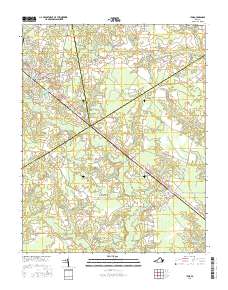
2016 Map of Ivor
USGS Topo · Published 2016About this map
The town of Wakefield serves as a primary hub for this Tidewater Virginia landscape, situated along the diagonal path of General Mahone Blvd and several rail corridors. The area is defined by a intricate network of wetlands and watercourses, including the extensive Chinquapin Swamp, Terrapin Swamp, and Seacock Swamp. These drainage systems create a distinct pattern of land use where settlements and small crossroads are elevated above the lower swampy basins. To the southeast, the village of Ivor anchors the corner of the map, surrounded by family-named landmarks and rural burial sites.
Find a feature on this map
73 named features on this map. Tap any name to fly to it.
Don’t see what you’re looking for? This feature index may not catch every label — zoom into the map to look around manually.
Map Details
Editions of this 2016 Ivor Map
This is the sole edition of this map. No revisions or reprints were ever made.
Other maps of this area

1919 · Surry
USGS Topo · 1:62,500

1919 · Disputanta
USGS Topo · 1:62,500

1919 · Homeville
USGS Topo · 1:48,000

1920 · Ivor
USGS Topo · 1:62,500

1920 · Homeville
USGS Topo · 1:62,500

1943 · Manry
USGS Topo · 1:31,680

1943 · Vicksville
USGS Topo · 1:31,680

1943 · Richmond
USGS Topo · 1:250,000

1944 · Waverly
USGS Topo · 1:31,680

1944 · Ivor
USGS Topo · 1:24,000