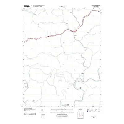
2011 Map of Ivydale
USGS Topo · Published 2011About this map
The Elk River winds through a landscape of deep hollows and high ridges in this Clay County study, anchoring settlements such as Ivydale and Little Italy. The river's path is shadowed by the winding routes of Co Rte 7/5 and the Ivydale Brg, showing a transport network that hugs the narrow valley floors. Away from the water, the geography is defined by family-named landmarks and peaks like Velvet Knob, Painter Knob, and Pilot Knob.
Find a feature on this map
90 named features on this map. Tap any name to fly to it.
Don’t see what you’re looking for? This feature index may not catch every label — zoom into the map to look around manually.
Map Details
Editions of this 2011 Ivydale Map
This is the sole edition of this map. No revisions or reprints were ever made.
Other maps of this area

1889 · Nicholas
USGS Topo · 1:125,000

1891 · Nicholas
USGS Topo · 1:125,000

1893 · Sutton
USGS Topo · 1:125,000

1897 · Kanawha Falls
USGS Topo · 1:125,000

1900 · Kanawha Falls
USGS Topo · 1:125,000

1901 · Nicholas
USGS Topo · 1:125,000

1901 · Kanawha Falls
USGS Topo · 1:125,000

1906 · Otter
USGS Topo · 1:62,500

1907 · Otter
USGS Topo · 1:62,500

1908 · Clay
USGS Topo · 1:48,000