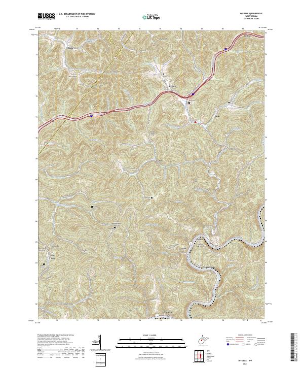
2023 Map of Ivydale
USGS Topo · Published 2023About this map
Elk River winds through the southern reaches of this West Virginia landscape, anchoring small settlements like Ivydale and Little Italy. The topography is defined by narrow hollows and high points such as Velvet Knob and Painter Knob, where local life is distributed along winding mountain roads and creek drainages. The map reveals a deeply rooted community structure, evidenced by numerous family and church burial grounds including Murphy Cem, Boggs Cem, and Pleasant Hill Cem. Many of these are positioned near landmark religious sites like the Little Laurel Missionary Baptist Church.
Find a feature on this map
101 named features on this map. Tap any name to fly to it.
Don’t see what you’re looking for? This feature index may not catch every label — zoom into the map to look around manually.
Map Details
Editions of this 2023 Ivydale Map
This is the sole edition of this map. No revisions or reprints were ever made.
Other maps of this area

1889 · Nicholas
USGS Topo · 1:125,000

1891 · Nicholas
USGS Topo · 1:125,000

1893 · Sutton
USGS Topo · 1:125,000

1897 · Kanawha Falls
USGS Topo · 1:125,000

1900 · Kanawha Falls
USGS Topo · 1:125,000

1901 · Nicholas
USGS Topo · 1:125,000

1901 · Kanawha Falls
USGS Topo · 1:125,000

1906 · Otter
USGS Topo · 1:62,500

1907 · Otter
USGS Topo · 1:62,500

1908 · Clay
USGS Topo · 1:48,000