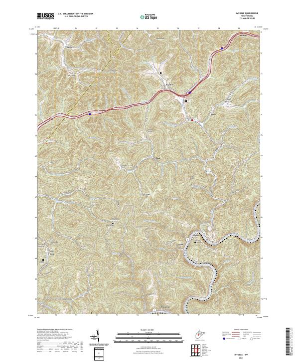
2023 Map of Ivydale
USGS Topo · Published 2023This historical map portrays the area of Ivydale in 2023, primarily covering Clay County as well as portions of Roane County and Calhoun County. Featuring a scale of 1:24000, this map provides a highly detailed snapshot of the terrain, roads, buildings, counties, and historical landmarks in the Ivydale region at the time. Published in 2023, it is the sole known edition of this map.
Map Details
Editions of this 2023 Ivydale Map
This is the sole edition of this map. No revisions or reprints were ever made.
Historical Maps of Valley Fork Through Time
11 maps found
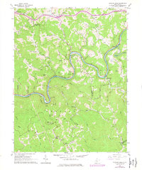
1965 Strange Creek
Clay County, WV
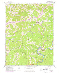
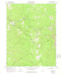
1966 Ivydale
Clay County, WV

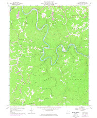
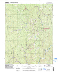
1967 Bentree
Clay County, WV
1967 Elkhurst
Clay County, WV
1967 Swandale
Clay County, WV
1996 Bentree
Clay County, WV
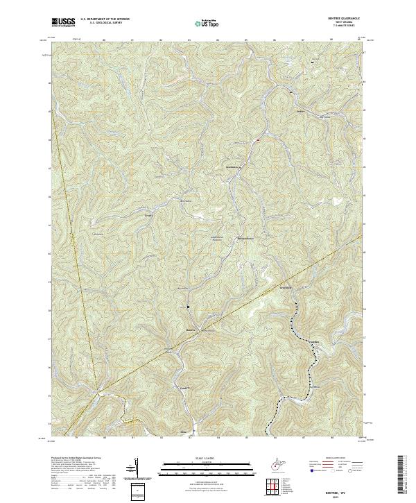
2023 Bentree
Clay County, WV
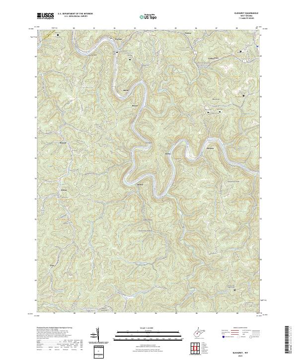
2023 Elkhurst
Clay County, WV
2023 Ivydale
Clay County, WV
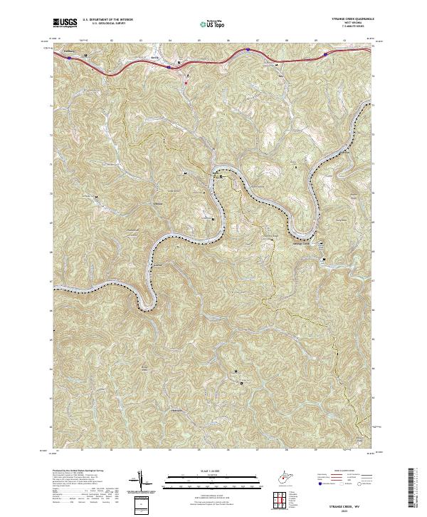
2023 Strange Creek
Clay County, WV
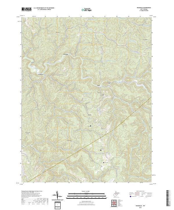
2023 Swandale
Clay County, WV