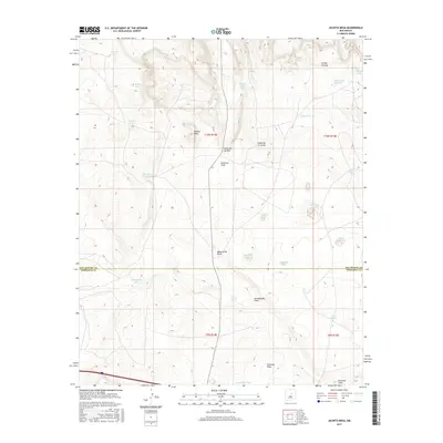
2017 Map of Jacinto Mesa
USGS Topo · Published 2017About this map
Jacinto Mesa stands as a prominent high point in this landscape where the borders of San Miguel and Torrance counties meet. The terrain is defined by a series of significant drainage systems, including the Agua Verde Draw, Encinosa Draw, and the winding Arroyo Chimaja to the northeast. Water management is a primary feature of this ranching or grazing territory, evidenced by the numerous named stock tanks and pits that dot the land.
Find a feature on this map
31 named features on this map. Tap any name to fly to it.
Don’t see what you’re looking for? This feature index may not catch every label — zoom into the map to look around manually.
Map Details
Editions of this 2017 Jacinto Mesa Map
This is the sole edition of this map. No revisions or reprints were ever made.
Other maps of this area

1890 · Bernal
USGS Topo · 1:125,000

1891 · Bernal
USGS Topo · 1:125,000

1894 · Bernal
USGS Topo · 1:125,000

1894 · Lamy
USGS Topo · 1:125,000

1954 · Santa Fe
USGS Topo · 1:250,000

1954 · Fort Sumner
USGS Topo · 1:250,000

1958 · Fort Sumner
USGS Topo · 1:250,000

1958 · Santa Fe
USGS Topo · 1:250,000

1963 · Jacinto Mesa
USGS Topo · 1:24,000

1963 · Aurora
USGS Topo · 1:24,000