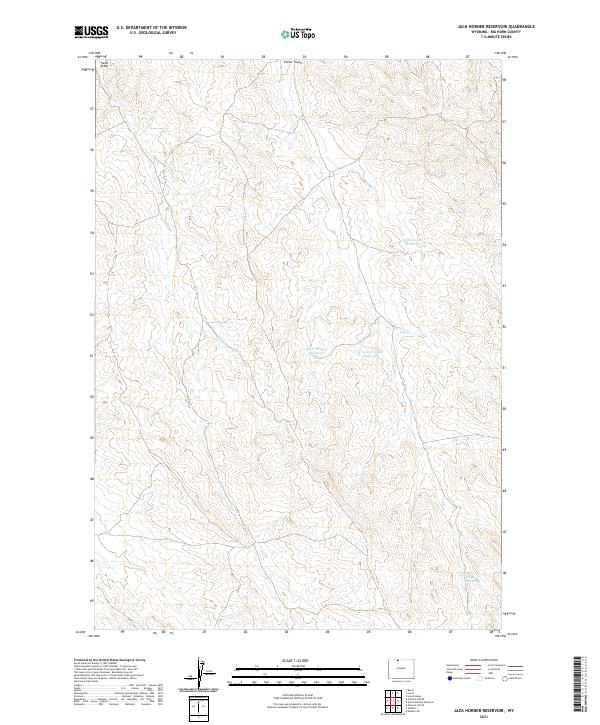
2021 Map of Jack Horner Reservoir
USGS Topo · Published 2021About this map
Jack Horner Reservoir and several surrounding irrigation bodies dominate this arid landscape in Wyoming's Big Horn County. The terrain is defined by complex drainage systems and erosion patterns, most notably at Sand Draw in the northwest and Foster Gulch along the northern margin. These features indicate a landscape shaped by intermittent water flow, where smaller catchments like Tommy Tucker Reservoir and North Snyder Reservoir were developed to manage resources in a dry environment. The map also records the larger Snyder Reservoir in the southeast, positioned amidst a network of section lines and township boundaries that divide this open ranching or public land region. This 2021 update preserves the exact spatial relationships of these remote water features, which remain critical landmarks for navigation and land management in the basin today.
Find a feature on this map
10 named features on this map. Tap any name to fly to it.
Don’t see what you’re looking for? This feature index may not catch every label — zoom into the map to look around manually.
Map Details
Editions of this 2021 Jack Horner Reservoir Map
This is the sole edition of this map. No revisions or reprints were ever made.
Other maps of this area

1955 · Cody
USGS Topo · 1:250,000

1958 · Cody
USGS Topo · 1:250,000

1962 · Cody
USGS Topo · 1:250,000

1964 · Lovell Lakes
USGS Topo · 1:24,000

1966 · Gilmore Hill NE
USGS Topo · 1:24,000

1966 · North Emblem Reservoir
USGS Topo · 1:24,000

1966 · Gilmore Hill SE
USGS Topo · 1:24,000

1966 · Jack Horner Reservoir
USGS Topo · 1:24,000

1966 · Emblem SE
USGS Topo · 1:24,000
1966 · Lovell
USGS Topo · 1:24,000