
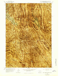
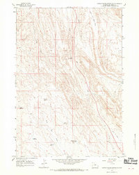
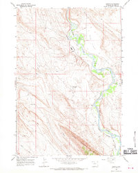
1966 Map of North Emblem Reservoir
USGS Topo · Published 1969About this map
The arid landscape of Big Horn, Wyoming, is defined by a complex system of water management and resource extraction as it appeared in the mid-1960s. The topography is dominated by numerous small-scale catchments and irrigation features, including North Emblem Reservoir, Cleopatra Reservoir, and Caesar Reservoir, which stand as vital infrastructure for the local cattle and agricultural operations of the high desert.
Find a feature on this map
17 named features on this map. Tap any name to fly to it.
Don’t see what you’re looking for? This feature index may not catch every label — zoom into the map to look around manually.
Map Details
Editions of this 1966 North Emblem Reservoir Map
3 editions found
Other maps of this area

1955 · Cody
USGS Topo · 1:250,000

1958 · Cody
USGS Topo · 1:250,000

1962 · Cody
USGS Topo · 1:250,000

1964 · Kane
USGS Topo · 1:24,000

1964 · Lovell Lakes
USGS Topo · 1:24,000
1966 · Sheep Canyon
USGS Topo · 1:24,000

1966 · Jack Horner Reservoir
USGS Topo · 1:24,000

1966 · Emblem SE
USGS Topo · 1:24,000
1966 · Lovell
USGS Topo · 1:24,000
1966 · Spence
USGS Topo · 1:24,000