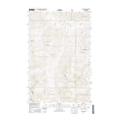
2014 Map of Jack Ridge
USGS Topo · Published 2014About this map
Wenatchee National Forest spans this high-elevation landscape along the boundary of Chelan and Kittitas counties. The terrain is defined by a series of prominent peaks and ridgelines, including Eightmile Mtn, Highchair Mtn, and the namesake Jack Ridge. The hydrology of the region is centered on Icicle Cr, which collects drainage from numerous tributaries such as Jack Cr, Black Pine Cr, and Chatter Cr.
Find a feature on this map
34 named features on this map. Tap any name to fly to it.
Don’t see what you’re looking for? This feature index may not catch every label — zoom into the map to look around manually.
Map Details
Editions of this 2014 Jack Ridge Map
This is the sole edition of this map. No revisions or reprints were ever made.
Other maps of this area

1897 · Mount Stuart
USGS Topo · 1:125,000

1901 · Chiwaukum
USGS Topo · 1:125,000

1901 · Snoqualmie Pass
USGS Topo · 1:125,000

1902 · Skykomish
USGS Topo · 1:125,000

1902 · Mount Stuart
USGS Topo · 1:125,000

1903 · Snoqualmie
USGS Topo · 1:125,000

1904 · Chiwaukum
USGS Topo · 1:125,000

1905 · Skykomish
USGS Topo · 1:125,000

1957 · Wenatchee
USGS Topo · 1:250,000

1961 · Mount Stuart
USGS Topo · 1:62,500