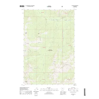
2020 Map of Jack Ridge
USGS Topo · Published 2020About this map
The Wenatchee Mountains dominate this high-elevation landscape within the Wenatchee National Forest. This 2020 survey documents a complex system of glaciated peaks and narrow river valleys, including the prominent spine of Jack Ridge and the dramatic Icicle Gorge. The drainage patterns here are defined by Jack Creek and Icicle Creek, which gather runoff from numerous smaller tributaries like Grindstone Creek and Chatter Creek. High-alpine features such as Cradle Lake and Trout Lake are shown nestled among summits like Bootjack Mountain and Highchair Mountain. This era of the map shows a landscape managed for recreation and conservation, with established routes such as the Trout Creek Trail and Solomon Creek Trail providing the primary human access through the steep, corrugated terrain of Blackjack Ridge and Sixtysix Hundred Ridge.
Find a feature on this map
42 named features on this map. Tap any name to fly to it.
Don’t see what you’re looking for? This feature index may not catch every label — zoom into the map to look around manually.
Map Details
Editions of this 2020 Jack Ridge Map
This is the sole edition of this map. No revisions or reprints were ever made.
Other maps of this area

1897 · Mount Stuart
USGS Topo · 1:125,000

1901 · Chiwaukum
USGS Topo · 1:125,000

1901 · Snoqualmie Pass
USGS Topo · 1:125,000

1902 · Skykomish
USGS Topo · 1:125,000

1902 · Mount Stuart
USGS Topo · 1:125,000

1903 · Snoqualmie
USGS Topo · 1:125,000

1904 · Chiwaukum
USGS Topo · 1:125,000

1905 · Skykomish
USGS Topo · 1:125,000

1957 · Wenatchee
USGS Topo · 1:250,000

1961 · Mount Stuart
USGS Topo · 1:62,500