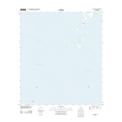
2012 Map of Jacko Bay
USGS Topo · Published 2012About this map
Jacko Bay and the vast marshlands of Terrebonne Parish are captured here during a period of significant coastal flux in the early 21st century. This 2012 survey by the U.S. Geological Survey documents the fragile relationship between the Louisiana coastline and the Gulf of Mexico, focusing on a landscape dominated by water and shifting landmasses. The map traces the intricate boundaries of Lake Barre and the winding course of Bayou l'Ourse as they meet the open sea. Numerous small island chains, including the Fornation Islands, Cat Island, and Bull Islands, serve as critical markers of the state's receding shoreline. For those studying environmental change or maritime history, this document provides a specific record of land extent at Terrebonne Island before further erosion and sea-level changes altered these coordinates.
Find a feature on this map
8 named features on this map. Tap any name to fly to it.
Don’t see what you’re looking for? This feature index may not catch every label — zoom into the map to look around manually.
Map Details
Editions of this 2012 Jacko Bay Map
This is the sole edition of this map. No revisions or reprints were ever made.
Other maps of this area

1894 · Timbalier
USGS Topo · 1:62,500

1894 · Lake Felicity
USGS Topo · 1:62,500

1894 · Dulac
USGS Topo · 1:62,500

1935 · Bourbeux
USGS Topo · 1:31,680

1935 · Timbalier Island
USGS Topo · 1:31,680

1935 · Bay Courant
USGS Topo · 1:31,680

1935 · Pelican Pass
USGS Topo · 1:31,680

1935 · Calumet Island
USGS Topo · 1:31,680

1939 · Lake Felicity
USGS Topo · 1:62,500

1941 · Lake Felicity
USGS Topo · 1:62,500