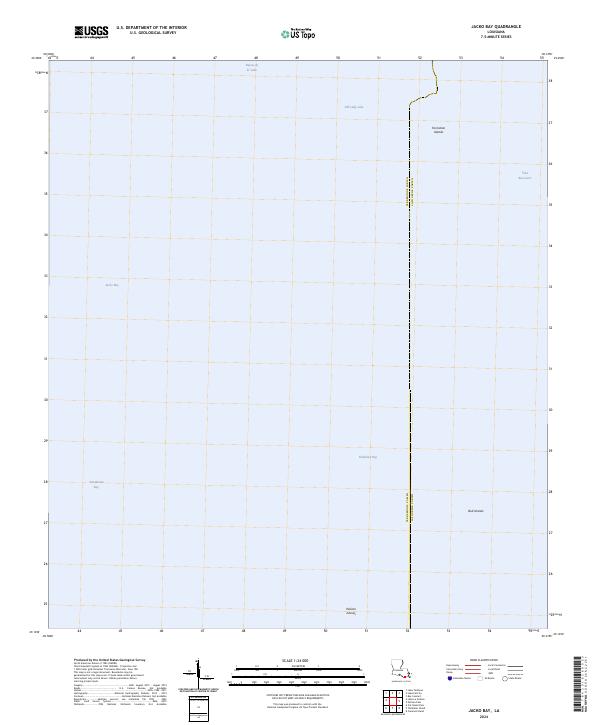
2024 Map of Jacko Bay
USGS Topo · Published 2024About this map
The coastal marshes of Louisiana are defined by the transition from terrestrial bayous to open waters in this 2024 survey. The border between Terrebonne Parish and Lafourche Parish runs through a landscape dominated by tidal basins, where the interior Old Lady Lake and Bayou de la Valle meet the expansive waters of Timbalier Bay. This environment is characterized by shifting barrier features and low-lying landforms such as the Fornation Islands and Bull Islands.
Find a feature on this map
20 named features on this map. Tap any name to fly to it.
Don’t see what you’re looking for? This feature index may not catch every label — zoom into the map to look around manually.
Map Details
Editions of this 2024 Jacko Bay Map
This is the sole edition of this map. No revisions or reprints were ever made.
Other maps of this area

1894 · Timbalier
USGS Topo · 1:62,500

1894 · Lake Felicity
USGS Topo · 1:62,500

1894 · Dulac
USGS Topo · 1:62,500

1935 · Bourbeux
USGS Topo · 1:31,680

1935 · Timbalier Island
USGS Topo · 1:31,680

1935 · Bay Courant
USGS Topo · 1:31,680

1935 · Pelican Pass
USGS Topo · 1:31,680

1935 · Calumet Island
USGS Topo · 1:31,680

1939 · Lake Felicity
USGS Topo · 1:62,500

1941 · Lake Felicity
USGS Topo · 1:62,500