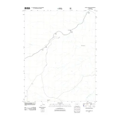
2011 Map of Jacks Canyon
USGS Topo · Published 2011About this map
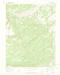
Mica View Mine sits along a ridgeline in this high-altitude landscape where deep drainage patterns reveal a complex network of gulches and canyons. The terrain is defined by dramatic elevation changes, notably at Gibbler Mountain and the namesake Jacks Canyon. Natural watercourses like East Creek and Snyder Creek serve as the primary topographical guides through this part of Mesa County.
Find a feature on this map
13 named features on this map. Tap any name to fly to it.
Don’t see what you’re looking for? This feature index may not catch every label — zoom into the map to look around manually.
Map Details
Editions of this 2011 Jacks Canyon Map
This is the sole edition of this map. No revisions or reprints were ever made.
Other maps of this area

1956 · Moab
USGS Topo · 1:250,000

1959 · Moab
USGS Topo · 1:250,000

1960 · Moab
USGS Topo · 1:250,000

1962 · Moab
USGS Topo · 1:250,000

1964 · Moab
USGS Topo · 1:250,000

1965 · Moab
USGS Topo · 1:250,000
1969 · Whitewater
USGS Topo · 1:24,000
1969 · Triangle Mesa
USGS Topo · 1:24,000
1969 · Glade Park
USGS Topo · 1:24,000
1969 · Island Mesa
USGS Topo · 1:24,000