Loading...
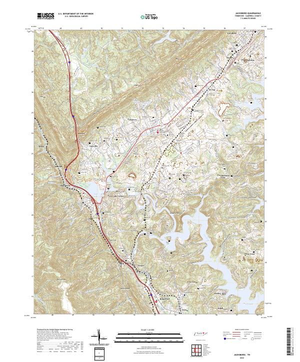
Loading map...2022 Map of Jacksboro
USGS Topo · Published 2022About this map
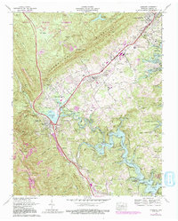
Jacksboro serves as the focal point of this survey, anchored by the Campbell County Courthouse and the nearby Campbell County Airport. The landscape is defined by the steep transition from the Powell Valley floor up to the ridgelines of Cumberland Mountain and Walden Ridge. This topography created a natural corridor for transportation, notably followed by the Csx Rr and several historic routes like Old Kentucky Rd.
Find a feature on this map
120 named features on this map. Tap any name to fly to it.
Don’t see what you’re looking for? This feature index may not catch every label — zoom into the map to look around manually.
Map Details
Date Portrayed2022
Date Published2022
PublisherU.S. Geological Survey
Map TypeTopographic
Scale1:24000
Physical Dimensions24 x 29 inches
Editions of this 2022 Jacksboro Map
This is the sole edition of this map. No revisions or reprints were ever made.
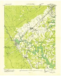
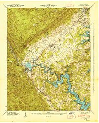
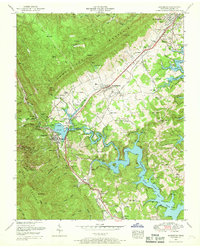
Historical Maps of Pine Crest Through Time
5 maps found
Featured Locations
Source Details
SourceU.S. Geological Survey
CopyrightPublic Domain