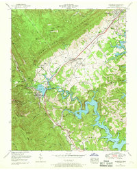
1952 Map of Jacksboro
USGS Topo · Published 1969About this map
Jacksboro and Caryville anchor this 1952 revision, situated in the narrow Powell Valley between the steep heights of Cumberland Mountain and Walden Ridge. The landscape is defined by the massive footprint of the Norris Reservation, where the intricate fingers of Norris Lake fill the lowlands once drained by Cove Creek. The map records a transition from traditional Appalachian farming and mining to a more recreational economy, centered around Cove Lake State Park and a prominent drive-in theater near Highland Park. Extensive coal mining operations are visible at the High Point Mine and surrounding coal mines, supported by the Southern and Louisville and Nashville railroads. Local genealogy is well-documented through numerous family burial sites, including the Queener, Vinsant, and Blankenbichler cemeteries, alongside rural social hubs like the College Hill School and Cherry Bottom Church.
Find a feature on this map
95 named features on this map. Tap any name to fly to it.
Don’t see what you’re looking for? This feature index may not catch every label — zoom into the map to look around manually.
Map Details
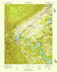
Editions of this 1952 Jacksboro Map
2 editions found
Other maps of this area

1893 · Briceville
USGS Topo · 1:125,000

1895 · Briceville
USGS Topo · 1:125,000

1896 · Briceville
USGS Topo · 1:125,000

1936 · Ivydell
USGS Topo · 1:24,000

1936 · Block
USGS Topo · 1:24,000

1936 · Jacksboro
USGS Topo · 1:24,000

1936 · Pioneer
USGS Topo · 1:24,000

1936 · Duncan Flats
USGS Topo · 1:24,000

1936 · La Follette
USGS Topo · 1:48,000

1936 · Norris Dam
USGS Topo · 1:48,000