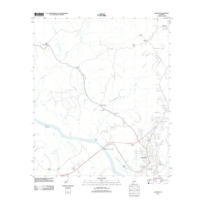
2011 Map of Jackson
USGS Topo · Published 2011About this map
Upper Salt Works and the industrial activity of the Stave Creek Oil Field characterize this portion of Clarke County along the eastern banks of the Tombigbee River. The city of Jackson serves as the primary hub, featuring the Jackson Post Office and recreational spaces like the Jackson Links Golf Course. To the west, the river landscape is defined by features such as Dubose Landing and the Saint Elmo Bar, while the community of Leroy sits just south of the water.
Find a feature on this map
72 named features on this map. Tap any name to fly to it.
Don’t see what you’re looking for? This feature index may not catch every label — zoom into the map to look around manually.
Map Details
Editions of this 2011 Jackson Map
This is the sole edition of this map. No revisions or reprints were ever made.
Other maps of this area

1943 · Choctaw Bluff
USGS Topo · 1:62,500

1943 · McIntosh
USGS Topo · 1:62,500

1944 · McIntosh
USGS Topo · 1:62,500

1946 · Choctaw Bluff
USGS Topo · 1:62,500

1953 · Andalusia
USGS Topo · 1:250,000

1953 · Hattiesburg
USGS Topo · 1:250,000

1957 · Andalusia
USGS Topo · 1:250,000

1958 · Hattiesburg
USGS Topo · 1:250,000

1972 · Tattlersville
USGS Topo · 1:24,000

1972 · St. Stephens
USGS Topo · 1:24,000