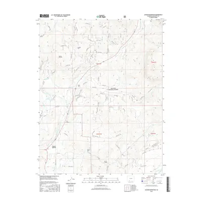
2016 Map of Jackson Mountain
USGS Topo · Published 2016About this map
Pagosa Springs serves as a focal point in the southwestern corner of this Colorado landscape, where the San Juan River flows through the high country. The map documents an intricate network of irrigation and water management essential to the region, including the Highline Ditch, Mesa Ditch, and the Snowball Extension Ditch near the Pagosa Reservoir. To the north and east, the terrain rises sharply toward Jackson Mountain and Nipple Mtn, with much of the land falling within the San Juan National Forest.
Find a feature on this map
77 named features on this map. Tap any name to fly to it.
Don’t see what you’re looking for? This feature index may not catch every label — zoom into the map to look around manually.
Map Details
Editions of this 2016 Jackson Mountain Map
This is the sole edition of this map. No revisions or reprints were ever made.
Other maps of this area

1913 · Summitville
USGS Topo · 1:125,000

1915 · Summitville
USGS Topo · 1:125,000

1924 · Pagosa Springs
USGS Topo · 1:125,000

1927 · Pagosa Springs
USGS Topo · 1:125,000

1945 · Durango
USGS Topo · 1:250,000

1953 · Durango
USGS Topo · 1:250,000

1954 · Durango
USGS Topo · 1:250,000

1957 · Chromo
USGS Topo · 1:62,500

1957 · Wolf Creek Pass
USGS Topo · 1:62,500

1957 · Pagosa Junction
USGS Topo · 1:62,500