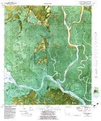
1982 Map of Jackson River
USGS Topo · Published 1984About this map
The Apalachicola River dictates the landscape of this coastal Florida river system, winding through a complex network of sloughs and tidal creeks where the Intracoastal Waterway meets the St Marks River. This 1982 orthophotomap provides a rare hybrid view, combining traditional topographic contouring with aerial imagery to reveal the density of the Indian Swamp and the distinct vegetation patterns on Forbes Island. Cultural markers are sparse but significant, with Bloody Bluff Landing and the adjacent Bloody Bluff Cemetery marking historical human presence at the northern edge of the sheet. The southern reach shows the development of Bay City near a draw bridge, while the presence of an Old Railroad Grade cutting through the marshlands north of Box R Ranch hints at former industrial or timber transport routes that once navigated this water-dominated environment.
Find a feature on this map
59 named features on this map. Tap any name to fly to it.
Don’t see what you’re looking for? This feature index may not catch every label — zoom into the map to look around manually.
Map Details
Editions of this 1982 Jackson River Map
2 editions found
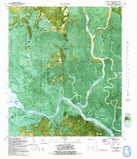
Other maps of this area

1943 · West Pass
USGS Topo · 1:31,680

1943 · Apalachicola
USGS Topo · 1:31,680

1943 · Indian Pass
USGS Topo · 1:24,000

1943 · Jackson River
USGS Topo · 1:24,000

1944 · White City
USGS Topo · 1:24,000

1944 · Apalachicola
USGS Topo · 1:24,000

1944 · Forbes Island
USGS Topo · 1:24,000

1945 · Forbes Island
USGS Topo · 1:31,680

1945 · Lake Wimico
USGS Topo · 1:31,680

1945 · White City
USGS Topo · 1:31,680