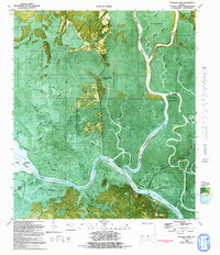
1982 Map of Jackson River
USGS Topo · Published 1992About this map
Apalachicola River and Jackson River dominate this complex deltaic landscape in Florida's Panhandle, where the boundary between Gulf and Franklin Counties follows the winding waterways. This orthophotomap provides an intricate view of the hydrologic network during the early 1980s, revealing how the Intracoastal Waterway cuts through the lowlands south of Lake Wimico. The map records specific local landmarks that define the era's land use, from the recreational Kenner Landing Boat Ramp to the agricultural footprint of Box R Ranch.
Find a feature on this map
56 named features on this map. Tap any name to fly to it.
Don’t see what you’re looking for? This feature index may not catch every label — zoom into the map to look around manually.
Map Details
Editions of this 1982 Jackson River Map
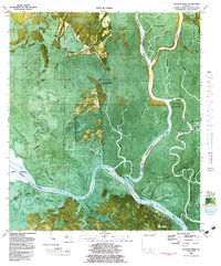
2 editions found
Other maps of this area

1943 · West Pass
USGS Topo · 1:31,680

1943 · Apalachicola
USGS Topo · 1:31,680

1943 · Indian Pass
USGS Topo · 1:24,000

1943 · Jackson River
USGS Topo · 1:24,000

1944 · White City
USGS Topo · 1:24,000

1944 · Apalachicola
USGS Topo · 1:24,000

1944 · Forbes Island
USGS Topo · 1:24,000

1945 · Forbes Island
USGS Topo · 1:31,680

1945 · Lake Wimico
USGS Topo · 1:31,680

1945 · White City
USGS Topo · 1:31,680