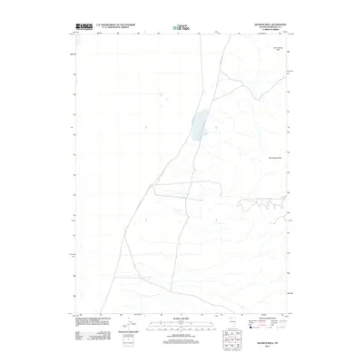
2011 Map of Jackson Well
USGS Topo · Published 2011About this map
The Slumbering Hills define the eastern edge of this Humboldt County terrain, overlooking an arid basin marked by seasonal water drainage and desert tracks. The landscape is dominated by the vast, open spaces of the Nevada desert, where survival and movement historically depended on specific water sources like Jackson Well. This well serves as a vital anchor point in an otherwise sparse environment, illustrating the critical nature of isolated water improvements in the Great Basin. Infrastructure in the area is minimal, centered largely around Sod House Rd, which provides the primary corridor through this high-altitude valley. The map reveals the intricate network of intermittent stream beds that carve through the alluvial fans at the base of the hills, showing how water moves during rare precipitation events in this arid region.
Find a feature on this map
3 named features on this map. Tap any name to fly to it.
Don’t see what you’re looking for? This feature index may not catch every label — zoom into the map to look around manually.
Map Details
Editions of this 2011 Jackson Well Map
This is the sole edition of this map. No revisions or reprints were ever made.
Other maps of this area

1882 · Paradise
USGS Topo · 1:250,000

1886 · Disaster
USGS Topo · 1:250,000

1893 · Paradise
USGS Topo · 1:250,000

1893 · Disaster
USGS Topo · 1:250,000

1954 · Vya
USGS Topo · 1:250,000

1955 · McDermitt
USGS Topo · 1:250,000

1958 · Vya
USGS Topo · 1:250,000

1958 · Awakening Peak
USGS Topo · 1:62,500

1959 · McDermitt
USGS Topo · 1:250,000

1962 · Vya
USGS Topo · 1:250,000