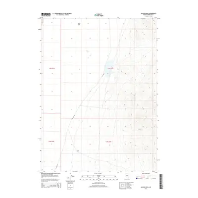
2015 Map of Jackson Well
USGS Topo · Published 2015About this map
Jackson Well is a primary landmark in this expanse of northern Nevada, situated within the flat terrain of Desert Valley. The geography is defined by the sharp rise of the Slumbering Hills to the east, which contrast with the wide basin floor. This 2015 survey illustrates the isolation and sparse infrastructure of the region, where Sod House Rd provides the singular modern access route through the sagebrush and salt flats. The map serves as a record of high-desert water sources and topographical transitions, marking the subtle shift from the open valley into the complex ridge lines of the Slumbering Hills.
Find a feature on this map
8 named features on this map. Tap any name to fly to it.
Don’t see what you’re looking for? This feature index may not catch every label — zoom into the map to look around manually.
Map Details
Editions of this 2015 Jackson Well Map
This is the sole edition of this map. No revisions or reprints were ever made.
Other maps of this area

1882 · Paradise
USGS Topo · 1:250,000

1886 · Disaster
USGS Topo · 1:250,000

1893 · Paradise
USGS Topo · 1:250,000

1893 · Disaster
USGS Topo · 1:250,000

1954 · Vya
USGS Topo · 1:250,000

1955 · McDermitt
USGS Topo · 1:250,000

1958 · Vya
USGS Topo · 1:250,000

1958 · Awakening Peak
USGS Topo · 1:62,500

1959 · McDermitt
USGS Topo · 1:250,000

1962 · Vya
USGS Topo · 1:250,000