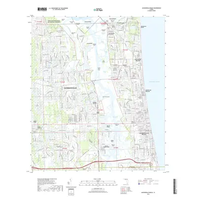
2018 Map of Jacksonville Beach
USGS Topo · Published 2018About this map
NS Mayport and the extensive marshlands of the Timucuan Ecological and Historic Preserve dominate the northern reaches of this coastal landscape. The map details the intricate network of waterways separating the mainland from the barrier islands, including the Intracoastal Waterway and Pablo Creek. This late-2010s survey captures the dense suburban expansion of Jacksonville as it meets the established seaside communities of Atlantic Beach, Neptune Beach, and Jacksonville Beach. Cultural and historical markers are preserved through the naming of the Mayport Cemetery, Tillotson Cemetery, and a significant Indian Mound near Wonderwood. The transition from the tidal creeks like Greenfield Creek and Sherman Creek to the structured residential developments of Isle of Palms and Sans Pareil illustrates the modern geographic character of Duval County's eastern edge.
Find a feature on this map
371 named features on this map. Tap any name to fly to it.
Don’t see what you’re looking for? This feature index may not catch every label — zoom into the map to look around manually.
Map Details
Editions of this 2018 Jacksonville Beach Map
This is the sole edition of this map. No revisions or reprints were ever made.
Other maps of this area

1917 · Orange Park
USGS Topo · 1:62,500

1918 · Jacksonville
USGS Topo · 1:62,500

1918 · Orange Park
USGS Topo · 1:62,500

1918 · Palm Valley
USGS Topo · 1:62,500

1918 · Mayport
USGS Topo · 1:62,500

1948 · Jacksonville
USGS Topo · 1:250,000

1948 · Jacksonville Beach
USGS Topo · 1:24,000

1948 · Eastport
USGS Topo · 1:24,000

1949 · Jacksonville Beach
USGS Topo · 1:24,000

1950 · Arlington
USGS Topo · 1:24,000
Featured Places
- Jacksonville, FL
- Jacksonville Beach, FL
- Atlantic Beach, FL
- Neptune Beach, FL
- Holiday Harbor, Jacksonville