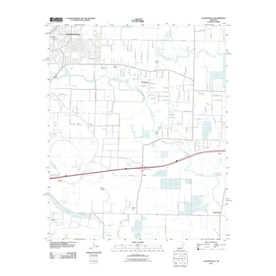
2011 Map of Jacksonville
USGS Topo · Published 2011About this map
Jacksonville serves as the primary hub of activity on this Arkansas landscape, where residential expansion meets the winding course of Bayou Meto. The terrain is defined by a series of waterways, including Bayou Two Prairie and Bakers Bayou, which carve through the plains south of the city. Smaller settlements like South Bend and Kerr are interspersed among large agricultural tracts and specialized sites such as Baucum Nursery and Perrys Airport.
Find a feature on this map
113 named features on this map. Tap any name to fly to it.
Don’t see what you’re looking for? This feature index may not catch every label — zoom into the map to look around manually.
Map Details
Editions of this 2011 Jacksonville Map
This is the sole edition of this map. No revisions or reprints were ever made.
Other maps of this area

1891 · Little Rock
USGS Topo · 1:125,000

1893 · Little Rock
USGS Topo · 1:125,000

1935 · Mc Almont
USGS Topo · 1:24,000

1935 · Sweet Home
USGS Topo · 1:24,000

1937 · England
USGS Topo · 1:48,000

1940 · Lonoke
USGS Topo · 1:62,500

1941 · Olmstead
USGS Topo · 1:31,680

1941 · Cabot
USGS Topo · 1:31,680

1942 · Scott
USGS Topo · 1:31,680

1943 · England
USGS Topo · 1:62,500