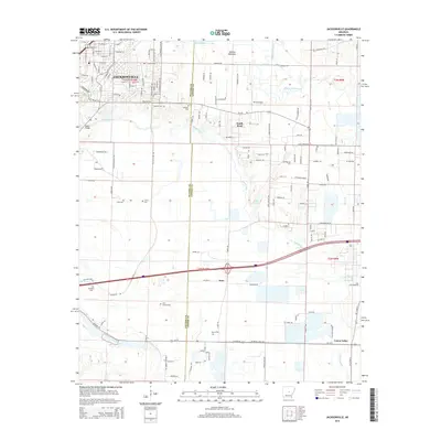
2014 Map of Jacksonville
USGS Topo · Published 2014About this map
Jacksonville occupies the northwestern corner of this study, sitting at the transition from urbanized street grids to the wetlands of the Pulaski Co and Lonoke Co line. The landscape is defined by a dense network of water bodies, including the meandering Bayou Meto, Ash Slough, and Hills Lake. This 2014 survey reveals a territory where modern infrastructure, like the Ar-294 corridor, navigates around significant natural preserves and agricultural land. The map is particularly rich in genealogical data, preserving the locations of numerous family-named burial grounds such as McCraw Cem, Lone Cypress Cem, and Martin Cem. To the northeast, the Holland Bottoms state wildlife area remains largely undeveloped, while small clusters of settlement persist at South Bend and Union Valley, reflecting the area's mix of rural heritage and suburban expansion.
Find a feature on this map
76 named features on this map. Tap any name to fly to it.
Don’t see what you’re looking for? This feature index may not catch every label — zoom into the map to look around manually.
Map Details
Editions of this 2014 Jacksonville Map
This is the sole edition of this map. No revisions or reprints were ever made.
Other maps of this area

1891 · Little Rock
USGS Topo · 1:125,000

1893 · Little Rock
USGS Topo · 1:125,000

1935 · Mc Almont
USGS Topo · 1:24,000

1935 · Sweet Home
USGS Topo · 1:24,000

1937 · England
USGS Topo · 1:48,000

1940 · Lonoke
USGS Topo · 1:62,500

1941 · Olmstead
USGS Topo · 1:31,680

1941 · Cabot
USGS Topo · 1:31,680

1942 · Scott
USGS Topo · 1:31,680

1943 · England
USGS Topo · 1:62,500