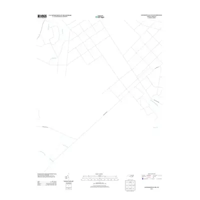
2013 Map of Jacksonville NW
USGS Topo · Published 2013About this map
N Prong White Oak River and its complex network of swampy tributaries define the eastern Onslow County landscape documented in this 2013 survey. The terrain is dominated by low-lying drainage systems, including Cowhorn Swamp and its feeder streams like Margaret Br and Bear Prong in the southwest. A sparse road network, characterized by long, straight stretches such as Quaker Bridge Rd and Hoffman Forest Rd, suggests a region dominated by timberlands or managed forests rather than dense residential development. The northern section of the map is particularly water-rich, featuring the meandering paths of Cypress Cr and Little Cypress Cr, highlighting the hydrologic character of the coastal plain before these waters reach the Atlantic drainage.
Find a feature on this map
11 named features on this map. Tap any name to fly to it.
Don’t see what you’re looking for? This feature index may not catch every label — zoom into the map to look around manually.
Map Details
Editions of this 2013 Jacksonville NW Map
This is the sole edition of this map. No revisions or reprints were ever made.
Other maps of this area

1903 · Trent River
USGS Topo · 1:62,500

1904 · Trent River
USGS Topo · 1:62,500

1943 · Jacksonville
USGS Topo · 1:62,500

1948 · Richlands
USGS Topo · 1:62,500

1953 · Rocky Mount
USGS Topo · 1:250,000

1953 · Beaufort
USGS Topo · 1:250,000

1954 · Rocky Mount
USGS Topo · 1:250,000

1954 · Beaufort
USGS Topo · 1:250,000

1958 · Deep Run
USGS Topo · 1:62,500

1965 · Richlands
USGS Topo · 1:62,500