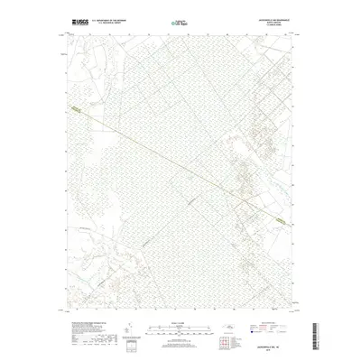
2019 Map of Jacksonville NW
USGS Topo · Published 2019About this map
White Oak Pocosin dominates this landscape along the border of Onslow and Jones Counties, revealing a vast wetland environment characterized by its unique hydrology and dense vegetation. This area of coastal North Carolina is defined by slow-moving water systems like Cypress Cr and Little Cypress Cr to the northwest, while the N Prong White Oak River drains the eastern reach near Barnes Br. The topography is exceptionally flat, typical of the pocosin wetlands where poorly drained soils create a mosaic of swamps and branches.
Find a feature on this map
12 named features on this map. Tap any name to fly to it.
Don’t see what you’re looking for? This feature index may not catch every label — zoom into the map to look around manually.
Map Details
Editions of this 2019 Jacksonville NW Map
This is the sole edition of this map. No revisions or reprints were ever made.
Other maps of this area

1903 · Trent River
USGS Topo · 1:62,500

1904 · Trent River
USGS Topo · 1:62,500

1943 · Jacksonville
USGS Topo · 1:62,500

1948 · Richlands
USGS Topo · 1:62,500

1953 · Rocky Mount
USGS Topo · 1:250,000

1953 · Beaufort
USGS Topo · 1:250,000

1954 · Rocky Mount
USGS Topo · 1:250,000

1954 · Beaufort
USGS Topo · 1:250,000

1958 · Deep Run
USGS Topo · 1:62,500

1965 · Richlands
USGS Topo · 1:62,500