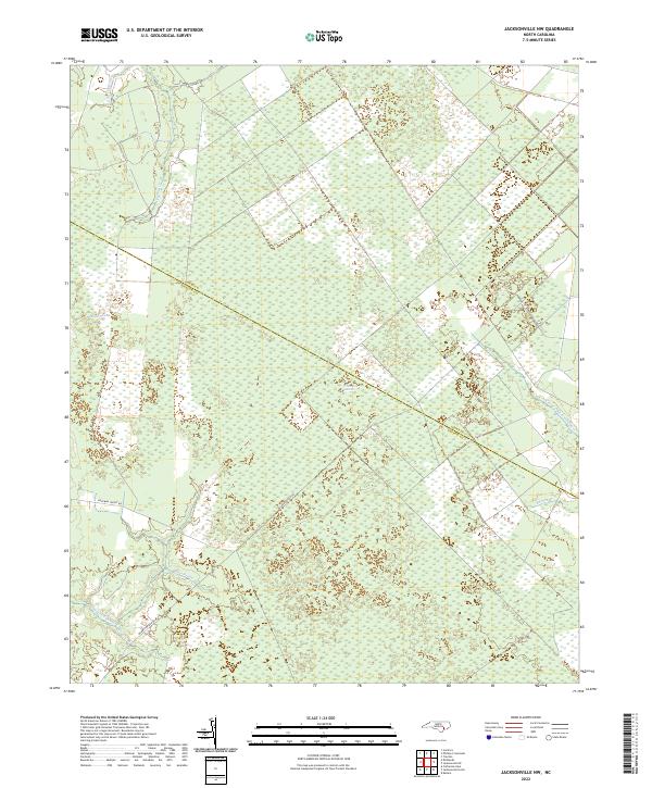
2022 Map of Jacksonville NW
USGS Topo · Published 2022About this map
The White Oak Pocosin dominates this coastal plain landscape, representing a specialized wetland environment along the border of Onslow and Jones counties. This high-ground swamp habitat is defined by a complex drainage network, where headwaters like Bear Prong and the N Prong White Oak River emerge from the dense vegetation. The map reveals a region defined by its hydrology and forestry, with limited road infrastructure consisting primarily of routes like Hoffman Forest Rd and Quaker Bridge Rd. Smaller waterways, including Little Cypress Cr and Margaret Br, carve through the surrounding Juniper Swamp and Cowhorn Swamp, illustrating the intricate natural drainage system of the North Carolina tidewater region before it reaches the larger river basins.
Find a feature on this map
12 named features on this map. Tap any name to fly to it.
Don’t see what you’re looking for? This feature index may not catch every label — zoom into the map to look around manually.
Map Details
Editions of this 2022 Jacksonville NW Map
This is the sole edition of this map. No revisions or reprints were ever made.
Other maps of this area

1903 · Trent River
USGS Topo · 1:62,500

1904 · Trent River
USGS Topo · 1:62,500

1943 · Jacksonville
USGS Topo · 1:62,500

1948 · Richlands
USGS Topo · 1:62,500

1953 · Rocky Mount
USGS Topo · 1:250,000

1953 · Beaufort
USGS Topo · 1:250,000

1954 · Rocky Mount
USGS Topo · 1:250,000

1954 · Beaufort
USGS Topo · 1:250,000

1958 · Deep Run
USGS Topo · 1:62,500

1965 · Richlands
USGS Topo · 1:62,500