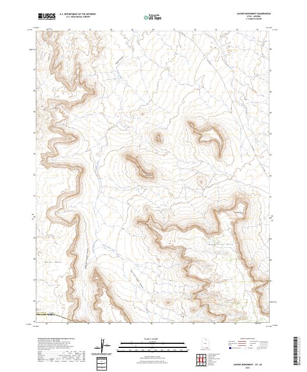
2023 Map of Jacobs Monument
USGS Topo · Published 2023About this map
Hoskinnini Mesa and Pickrell Mesa dominate this high-altitude landscape along the border of Utah and Arizona. This modern survey illustrates the complex drainage system of Copper Canyon, where the West Fork Copper Canyon and East Fork Copper Canyon converge to feed into the main channel of Copper Creek. The terrain is characterized by massive elevated formations, including the sprawling Nokai Mesa and the distinctively named Tse-dahasqani. Infrastructure in this part of San Juan County is limited to gravel routes such as SJC RD 423 and SJC RD 485, which provide access through the deep canyons and across the windswept mesa tops. This map serves as a vital record for understanding the hydrological patterns of East Copper Creek and the surrounding geological features that define the Utah-Arizona state line.
Find a feature on this map
14 named features on this map. Tap any name to fly to it.
Don’t see what you’re looking for? This feature index may not catch every label — zoom into the map to look around manually.
Map Details
Editions of this 2023 Jacobs Monument Map
This is the sole edition of this map. No revisions or reprints were ever made.
Other maps of this area

1883 · Marsh Pass
USGS Topo · 1:250,000

1886 · Henry Mountains
USGS Topo · 1:250,000

1892 · Marsh Pass
USGS Topo · 1:250,000

1892 · Henry Mountains
USGS Topo · 1:250,000

1952 · Clay Hills 3 SE
USGS Topo · 1:24,000

1952 · Shato Spring 1 NE
USGS Topo · 1:24,000

1952 · Agathla Peak 2 NW
USGS Topo · 1:24,000

1952 · Boot Mesa
USGS Topo · 1:62,500

1952 · Clay Hills 3 SW
USGS Topo · 1:24,000

1952 · Agathla Peak 2 NE
USGS Topo · 1:24,000