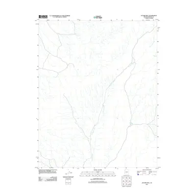
2011 Map of Jacobs Well
USGS Topo · Published 2011About this map
Tom and Cull Wash carves a long, branching path across this desert landscape in Mohave County, defining the drainage patterns of an arid territory as it appeared in 2011. The network of ephemeral channels and washes reveals the complex hydrology of the high desert, where water sources are critical but sparse. Human activity and survival in this environment are marked by isolated points like Jacobs Well and Cottonwood Spring, which appear as rare landmarks in an otherwise open and unsettled terrain. This survey reflects the modern road and land-use patterns of the early 21st century, showing how infrastructure traverses the landscape while remaining secondary to the natural drainage systems of the region.
Find a feature on this map
3 named features on this map. Tap any name to fly to it.
Don’t see what you’re looking for? This feature index may not catch every label — zoom into the map to look around manually.
Map Details
Editions of this 2011 Jacobs Well Map
This is the sole edition of this map. No revisions or reprints were ever made.
Other maps of this area

1886 · Saint Thomas
USGS Topo · 1:250,000

1886 · Mt. Trumbull
USGS Topo · 1:250,000

1892 · Mt. Trumbull
USGS Topo · 1:250,000

1893 · Saint Thomas
USGS Topo · 1:250,000

1953 · Grand Canyon
USGS Topo · 1:250,000

1954 · Las Vegas
USGS Topo · 1:250,000

1954 · Littlefield 3 SW
USGS Topo · 1:24,000

1954 · Littlefield 3 NE
USGS Topo · 1:24,000
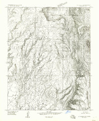
1954 · Littlefield 3 SE
USGS Topo · 1:24,000

1954 · Littlefield
USGS Topo · 1:62,500