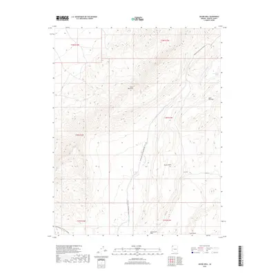
2018 Map of Jacobs Well
USGS Topo · Published 2018About this map
The Virgin Mountains dominate the western portion of this terrain in the northern Mojave Desert. This arid landscape is defined by its drainage systems and rare water sources, including Cottonwood Spring and the namesake Jacobs Well. The topography is marked by deep incisions such as Cow Canyon and Cottonwood Wash, while Tom and Cull Wash creates a primary north-south corridor through the center of the survey. Modern recreation intersects with the traditional geography along the high-clearance routes of Co HWY 101, which shares space with the long-distance route known as Bikepacking: The Plateau Passage. The map provides a detailed look at the transition from high peaks like Black Rock Mtn down into the expansive desert floor, illustrating the sparse but critical infrastructure required to navigate this portion of Mohave County.
Find a feature on this map
17 named features on this map. Tap any name to fly to it.
Don’t see what you’re looking for? This feature index may not catch every label — zoom into the map to look around manually.
Map Details
Editions of this 2018 Jacobs Well Map
This is the sole edition of this map. No revisions or reprints were ever made.
Other maps of this area

1886 · Saint Thomas
USGS Topo · 1:250,000

1886 · Mt. Trumbull
USGS Topo · 1:250,000

1892 · Mt. Trumbull
USGS Topo · 1:250,000

1893 · Saint Thomas
USGS Topo · 1:250,000

1953 · Grand Canyon
USGS Topo · 1:250,000

1954 · Las Vegas
USGS Topo · 1:250,000

1954 · Littlefield 3 SW
USGS Topo · 1:24,000

1954 · Littlefield 3 NE
USGS Topo · 1:24,000
1954 · Littlefield 3 SE
USGS Topo · 1:24,000

1954 · Littlefield
USGS Topo · 1:62,500