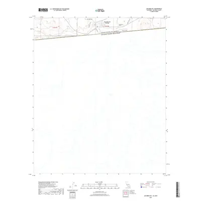
2018 Map of Jacumba OE S
USGS Topo · Published 2018About this map
Jacumba Hot Springs sits at the very edge of the international border in the high desert of San Diego County. This 2018 survey captures the interface between the United States of America and Mexico, where the landscape is defined by the steep elevation of Jacumba Peak and the relatively flat expanse of Jacumba Valley. The settlement's infrastructure is tightly clustered near the boundary, supported by the Jacumba Airport and local routes such as Snow Hill Rd and Carrizo Creek Rd. Hydrology in this arid region is dominated by Boundary Cr, which drains toward the international line. The map illustrates the stark contrast between the developed town site and the vast, open terrain to the south and east, providing a clear look at the borderland geography of the early 21st century.
Find a feature on this map
11 named features on this map. Tap any name to fly to it.
Don’t see what you’re looking for? This feature index may not catch every label — zoom into the map to look around manually.
Map Details
Editions of this 2018 Jacumba OE S Map
This is the sole edition of this map. No revisions or reprints were ever made.
Other maps of this area

1931 · Carrizo
USGS Topo · 1:125,000

1939 · Campo
USGS Topo · 1:62,500

1939 · Jacumba
USGS Topo · 1:62,500

1942 · Campo
USGS Topo · 1:62,500

1942 · Jacumba
USGS Topo · 1:62,500

1950 · San Diego
USGS Topo · 1:250,000

1954 · San Diego
USGS Topo · 1:250,000

1955 · San Diego
USGS Topo · 1:250,000

1958 · San Diego
USGS Topo · 1:250,000
1959 · Jacumba
USGS Topo · 1:24,000