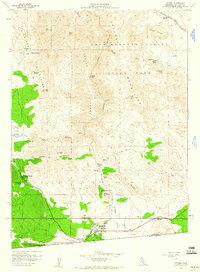
1959 Map of Jacumba
USGS Topo · Published 1960About this map
Jacumba sits at the southern edge of this desert landscape, positioned along the San Diego and Arizona Eastern railroad just north of the United States Mexico border. The map documents a rugged transition between the In-Ko-Pah Mountains and the Jacumba Mountains, where the railroad winds through the dramatic Carrizo Gorge and passes engineering features like Tunnel 15. Evidence of early 20th-century travel and water sourcing is visible throughout the area, from the cluster at Bankhead Springs to the specialized Arsenic Spring and Iron Spring.
Find a feature on this map
54 named features on this map. Tap any name to fly to it.
Don’t see what you’re looking for? This feature index may not catch every label — zoom into the map to look around manually.
Map Details
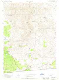
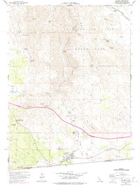
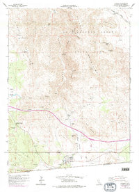
Editions of this 1959 Jacumba Map
4 editions found
Other maps of this area

1931 · Carrizo
USGS Topo · 1:125,000

1939 · Campo
USGS Topo · 1:62,500

1939 · Jacumba
USGS Topo · 1:62,500

1942 · Campo
USGS Topo · 1:62,500

1942 · Carrizo Mtn
USGS Topo · 1:62,500

1942 · Jacumba
USGS Topo · 1:62,500

1942 · Cuyapaipe
USGS Topo · 1:62,500

1950 · San Diego
USGS Topo · 1:250,000

1954 · San Diego
USGS Topo · 1:250,000

1955 · San Diego
USGS Topo · 1:250,000