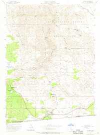
1959 Map of Jacumba
USGS Topo · Published 1968About this map
Jacumba sits at the southern edge of this desert landscape, situated where the San Diego and Arizona Eastern railroad tracks wind through the Jacumba Valley. The mapping from 1959 reveals a rugged terrain defined by the Carrizo Gorge and the sharp peaks of the Ko-Pah Mountains. Along the international Boundary, the map details a network of springs and water sources critical to this arid environment, including Bankhead Springs and Arsenic Spring. Farther north, the expanse of Anza-Borrego Desert State Park dominates the topography, punctuated by prominent landmarks such as Table Mtn and Round Mtn. For historians and researchers, the inclusion of rail-related features like the Dubber Spur and various tunnels provides a clear picture of the technical challenges faced by transportation routes navigating the steep canyons and flats of eastern San Diego County before the modern era.
Find a feature on this map
47 named features on this map. Tap any name to fly to it.
Don’t see what you’re looking for? This feature index may not catch every label — zoom into the map to look around manually.
Map Details
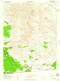
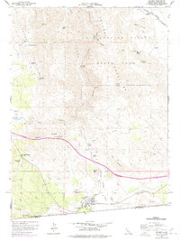
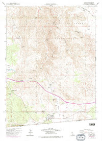
Editions of this 1959 Jacumba Map
4 editions found
Other maps of this area

1931 · Carrizo
USGS Topo · 1:125,000

1939 · Campo
USGS Topo · 1:62,500

1939 · Jacumba
USGS Topo · 1:62,500

1942 · Campo
USGS Topo · 1:62,500

1942 · Carrizo Mtn
USGS Topo · 1:62,500

1942 · Jacumba
USGS Topo · 1:62,500

1942 · Cuyapaipe
USGS Topo · 1:62,500

1950 · San Diego
USGS Topo · 1:250,000

1954 · San Diego
USGS Topo · 1:250,000

1955 · San Diego
USGS Topo · 1:250,000