Old Maps of Bankhead Springs, California
Explore 16 old maps of Bankhead Springs, spanning from 1931 to today. These high-resolution historic maps reveal how streets, neighborhoods, landmarks, and natural features evolved over time — perfect for genealogy, metal detecting, research, and local history exploration.
What you can do with these maps:
- See how Bankhead Springs changed over time: Compare historical maps to modern-day views to trace roads, homesites, rail lines & more.
- View detailed metadata: Each map includes creators, publishers, year, scale, and archive source.
- Overlay maps with satellite & LiDAR: Visualize the past alongside modern tools to explore terrain & human change.
- Trusted historical sources: Maps sourced from the USGS, Library of Congress, and other archives.
- Access maps your way: View online, download high-res files, or order prints for personal or research use.
Start exploring old maps of Bankhead Springs to uncover forgotten places, hidden landmarks, and the deep history beneath your feet.
Bankhead Springs, CA maps
(16)- 1931 Map of Carrizo, 1938 Print
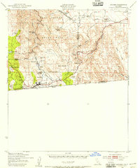
 1931 Carrizo1938 Print · USGSBorderland life in the 1930s is defined by remote ranching outposts and vital desert springs along the international line. Trace old family sites and water sources like Campo P.O., Agua Caliente Hot Springs, and Laguna Ranch.
 - 1939 Map of Jacumba, 1956 Print
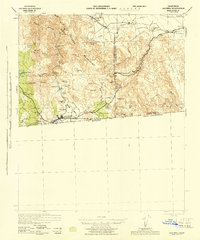
 1939 Jacumba1956 Print · USGSThe high-desert borderlands of San Diego and Imperial counties are documented here just before the 1940s. Researchers can trace the engineering of the San Diego and Arizona Eastern railway and locate remote sites like Smugglers Cave and the Asbestos Mine.2 unique versions available
 - 1942 Map of Jacumba, 1944 Print
 1942 Jacumba1944 Print · USGSThe high desert borderlands come alive in the 1940s as the railroad traverses the mountains into Imperial County. Researchers can trace the path of the San Diego and Arizona Eastern through Jacumba Hot Springs to remote sidings and desert claims like Mica Gem Mine.
 - 1950 Map of San Diego, 1954 Print
 1950 San Diego1954 Print · USGSCoastal San Diego and the Baja California border region come alive in this mid-century survey. Trace the early layout of National City and Chula Vista, or locate historic landmarks like the San Diego and Arizona Eastern RR and Fort Rosecrans.
 - 1954 Map of San Diego
 1954 San Diego1954 Print · USGSSan Diego and the northern reaches of Baja California are captured here during a decade of rapid post-war growth and military expansion. Researchers can trace the mid-century shoreline of Mission Beach, find established tribal lands like Capitan Grande Indian Reservation, and follow the border crossing into Tijuana.
 - 1955 Map of San Diego
 1955 San Diego1955 Print · USGSSouthern California underwent massive growth in the post-war years, as suburban development pushed into the canyons and foothills. Researchers can trace the mid-century infrastructure of Lindbergh Field, the Otay River, and numerous sites like Lemon Grove.
 - 1958 Map of San Diego, 1961 Print
 1958 San Diego1961 Print · USGSSan Diego and its inland mountain ranges are captured here in the late fifties as coastal suburbs began to climb the mesas. Researchers can trace the mid-century footprint of Miramar Naval Air Station, the winding San Diego & Arizona Eastern Ry, and local landmarks like Cabrillo Nat Mon.4 unique versions available
 - 1959 Map of Jacumba, 1960 Print
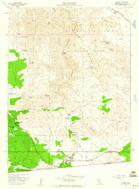 1959 Jacumba1960 Print · USGSThe high desert borderlands near the international line are captured here in the late fifties, showcasing the complex railroad engineering through Carrizo Gorge. Researchers can trace the path of the San Diego and Arizona Eastern past Jacumba, Bankhead Springs, and the remote Dos Cabezas station.4 unique versions available
 - 1959 Map of Jacumba, 1961 Print
 1959 Jacumba1961 Print · USGSThe High Desert and international borderlands are captured here in the late fifties. Trace the rail line through Carrizo Gorge or locate old mining sites like the Mica Gem Mine and Jade Mine.2 unique versions available
 - 1979 Map of El Cajon
 1979 El Cajon1979 Print · USGSSouthern San Diego County and its mountain-to-desert transition are captured here in the late seventies. Researchers can trace the winding San Diego & Arizona Eastern RR, locate rural settlements like Jacumba, and explore the sprawling Cleveland National Forest.2 unique versions available
 - 1997 Map of Jacumba, 2003 Print
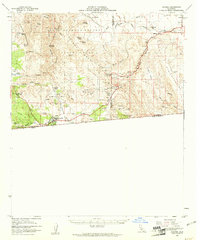
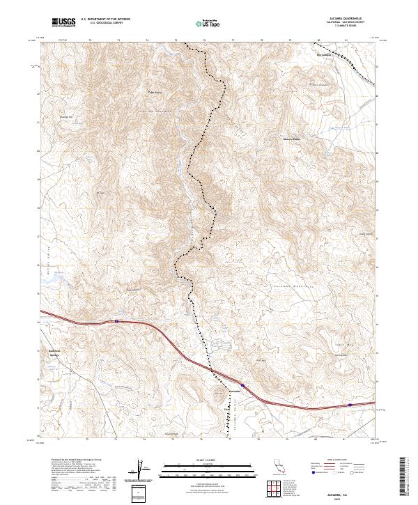
 1997 Jacumba2003 Print · USGSThe high desert country of San Diego County near the Mexico border comes to life in this late-century survey. Genealogists and rail historians can trace the San Diego & Arizona Eastern RR as it passes Jacumba, Bankhead Springs, and the remote Dos Cabezas.
 - 2012 Map of Jacumba, 2012 Print
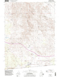
 2012 Jacumba2012 Print · USGSCovers Bankhead Springs, including San Diego County, United States, and other nearby areas
 - 2015 Map of Jacumba, 2015 Print
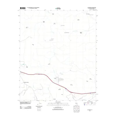
 2015 Jacumba2015 Print · USGSCovers Bankhead Springs, including San Diego County, United States, and other nearby areas
 - 2018 Map of Jacumba, 2018 Print
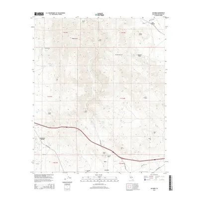
 2018 Jacumba2018 Print · USGSCovers Bankhead Springs, including San Diego County, United States, and other nearby areas
 - 2021 Map of Jacumba, 2021 Print
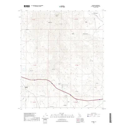
 2021 Jacumba2021 Print · USGSCovers Bankhead Springs, including San Diego County, United States, and other nearby areas
 - 2023 Map of Jacumba, 2023 Print
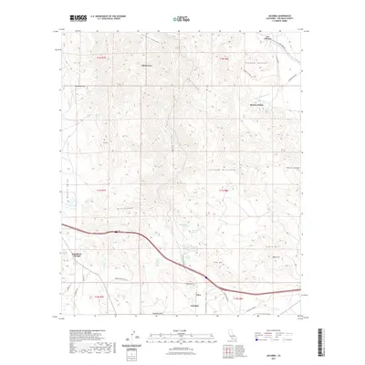
 2023 Jacumba2023 Print · USGSThe high desert and mountain passes of San Diego County are captured here in the early twenty-first century. Genealogists and hikers can trace water sources like Dos Cabezas Spring and old settlements from Bankhead Springs to Titus.
End of results
Showing maps 1-16 of 16
Top cities near Bankhead Springs
Frequently asked questions
- What are the different types of historical maps available for Bankhead Springs?
- What is the oldest map of Bankhead Springs?
- Where can I purchase historical maps of Bankhead Springs for my home or office?
- Where can I download high-res historical maps of Bankhead Springs?
- Are there historical topographic maps available for Bankhead Springs?
- Is there historical aerial imagery available for Bankhead Springs?
- Where are historical maps of Bankhead Springs sourced from?