
1958 Map of San Diego
USGS Topo · Published 1961About this map
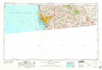
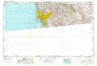
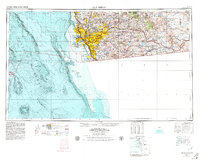
The San Diego metropolitan area and its expansive backcountry are documented here just as the post-war population boom began reshaping the Southern California coastline. From the urban core and San Diego Bay to the high desert, the map captures a landscape defined by significant military installations and a rapidly expanding road network including U.S. 101 and U.S. 395. The heavy presence of the United States Navy is evident at North Island NAS, Ream Field NAAS, and the Border Field Naval Reservation along the international boundary.
Find a feature on this map
85 named features on this map. Tap any name to fly to it.
Don’t see what you’re looking for? This feature index may not catch every label — zoom into the map to look around manually.
Map Details
Editions of this 1958 San Diego Map
4 editions found
Other maps of this area

1893 · El Cajon
USGS Topo · 1:62,500

1893 · Oceanside
USGS Topo · 1:62,500

1893 · Escondido
USGS Topo · 1:62,500

1898 · Oceanside
USGS Topo · 1:62,500

1901 · Elcajon
USGS Topo · 1:62,500

1901 · Escondido
USGS Topo · 1:62,500

1901 · Oceanside
USGS Topo · 1:62,500

1901 · San Luis Rey
USGS Topo · 1:125,000

1902 · Capistrano
USGS Topo · 1:125,000

1903 · Cuyamaca
USGS Topo · 1:125,000