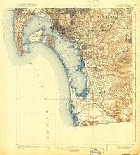
1958 Map of San Diego
USGS Topo · Published 1979About this map
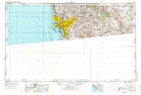
San Diego and its surrounding coastal and desert landscapes are presented here with a focus on mid-century military infrastructure and the developing suburban footprint. The map documents a dense network of naval installations, including the Miramar Naval Air Station and North Island Naval Air Station, alongside educational landmarks like San Diego State University and the University of California San Diego. To the east, the terrain rises into the Cleveland National Forest, where a series of water management projects are visible, including the Morena Reservoir and El Capitan Reservoir.
Find a feature on this map
210 named features on this map. Tap any name to fly to it.
Don’t see what you’re looking for? This feature index may not catch every label — zoom into the map to look around manually.
Map Details
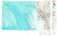
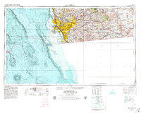
Editions of this 1958 San Diego Map
4 editions found

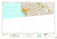
Historical Maps of El Cajon Through Time
7 maps found