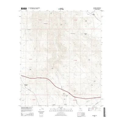
2015 Map of Jacumba
USGS Topo · Published 2015About this map
Jacumba and the surrounding high desert of San Diego County are defined by a complex geography of arid peaks and vital water sources. In this 2015 topography, the settlement of Bankhead Springs sits along the historic route of Old Highway 80, while the modern Interstate 8 cuts through the center of the quadrangle. The map captures a landscape where survival depended on localized water points like Bankhead Spring, Arsenic Spring, and Dos Cabezas Spring.
Find a feature on this map
45 named features on this map. Tap any name to fly to it.
Don’t see what you’re looking for? This feature index may not catch every label — zoom into the map to look around manually.
Map Details
Editions of this 2015 Jacumba Map
This is the sole edition of this map. No revisions or reprints were ever made.
Other maps of this area

1931 · Carrizo
USGS Topo · 1:125,000

1939 · Campo
USGS Topo · 1:62,500

1939 · Jacumba
USGS Topo · 1:62,500

1942 · Campo
USGS Topo · 1:62,500

1942 · Carrizo Mtn
USGS Topo · 1:62,500

1942 · Jacumba
USGS Topo · 1:62,500

1942 · Cuyapaipe
USGS Topo · 1:62,500

1950 · San Diego
USGS Topo · 1:250,000

1954 · San Diego
USGS Topo · 1:250,000

1955 · San Diego
USGS Topo · 1:250,000