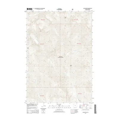
2015 Map of Jaggar Peak
USGS Topo · Published 2015About this map
Jaggar Peak stands as a prominent high point within the Shoshone National Forest, overlooking a complex system of high-elevation drainages in the Absaroka Range. The landscape is defined by its verticality, where deep canyons carved by Sulphur Cr and Turret Cr separate distinctive landforms like Mt Pleasant and the broad top of Nipple Mesa. A primary hydrological feature is the cascading descent of Sweetwater Creek Falls, which feeds into the larger valley of Sweetwater Cr. The map reveals a largely roadless interior, with the notable exception of Sweetwater Creek Rd in the southern sections, providing limited access to the many tributary forks such as Peanut Cr and Wilson Cr. This 2015 survey details a backcountry environment where the drainage patterns of the Absaroka front remain the dominant influence on navigation and land use.
Find a feature on this map
23 named features on this map. Tap any name to fly to it.
Don’t see what you’re looking for? This feature index may not catch every label — zoom into the map to look around manually.
Map Details
Editions of this 2015 Jaggar Peak Map
This is the sole edition of this map. No revisions or reprints were ever made.
Other maps of this area

1893 · Ishawooa
USGS Topo · 1:125,000

1895 · Ishawooa
USGS Topo · 1:125,000

1896 · Crandall Creek
USGS Topo · 1:125,000

1899 · Crandall
USGS Topo · 1:125,000

1899 · Ishawooa
USGS Topo · 1:125,000

1955 · Cody
USGS Topo · 1:250,000

1956 · Sunlight Peak
USGS Topo · 1:62,500

1956 · Dead Indian Peak
USGS Topo · 1:62,500

1958 · Cody
USGS Topo · 1:250,000

1962 · Cody
USGS Topo · 1:250,000