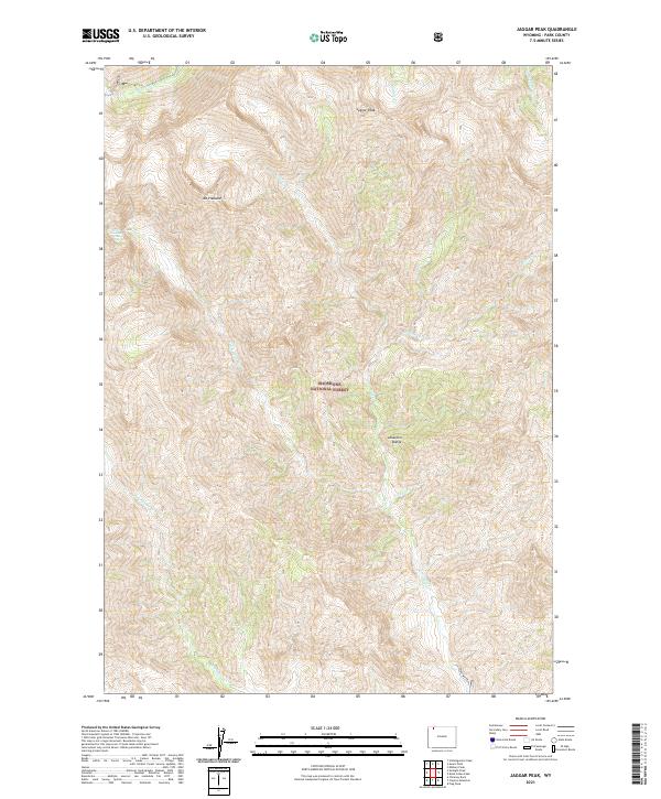
2021 Map of Jaggar Peak
USGS Topo · Published 2021About this map
The Shoshone National Forest contains the high-elevation wilderness of the Absaroka Range, a landscape defined by dramatic topographical relief and an intricate network of alpine drainages. Prominent summits such as Jaggar Peak and Mt Pleasant overlook a terrain carved by numerous watercourses, including Sulphur Cr, Jaggar Cr, and Turret Cr. The hydrology of this area is particularly noteworthy, featuring the remote Sweetwater Falls and the headwaters of Sweetwater Cr, which flows southward through the quadrangle. The lack of roads or established human structures reflects the primitive state of this mountain environment as it remained in the early 21st century. This map serves as a critical record of drainage patterns and peak elevations in a region where the land remains largely untracked by modern development.
Find a feature on this map
20 named features on this map. Tap any name to fly to it.
Don’t see what you’re looking for? This feature index may not catch every label — zoom into the map to look around manually.
Map Details
Editions of this 2021 Jaggar Peak Map
This is the sole edition of this map. No revisions or reprints were ever made.
Other maps of this area

1893 · Ishawooa
USGS Topo · 1:125,000

1895 · Ishawooa
USGS Topo · 1:125,000

1896 · Crandall Creek
USGS Topo · 1:125,000

1899 · Crandall
USGS Topo · 1:125,000

1899 · Ishawooa
USGS Topo · 1:125,000

1955 · Cody
USGS Topo · 1:250,000

1956 · Sunlight Peak
USGS Topo · 1:62,500

1956 · Dead Indian Peak
USGS Topo · 1:62,500

1958 · Cody
USGS Topo · 1:250,000

1962 · Cody
USGS Topo · 1:250,000