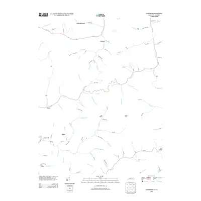
2013 Map of Jamboree
USGS Topo · Published 2013About this map
Fedscreek and the nearby Rowland Row Camp occupy a valley where numerous forks and branches converge in this mountainous portion of eastern Kentucky. The landscape is defined by its deep hollows and high points like Hylton Knob and Phelps Old Mt, reflecting the intricate drainage patterns of the Cumberland Plateau. Small settlements such as Dunlap, Motley, and Coleman are linked by winding roads like Road Fork and Smith Fork Rd that follow the natural contours of the creeks. Genealogists may find interest in the Phillips Cem and the naming of family-related landmarks such as Jess Hollow and Fox Hollow. The presence of the KBC Mine Rd and varied mining-related labels suggests the long-standing importance of resource extraction to the local economy and infrastructure, even as newer residential clusters like Jamboree maintain their place in the hills.
Find a feature on this map
103 named features on this map. Tap any name to fly to it.
Don’t see what you’re looking for? This feature index may not catch every label — zoom into the map to look around manually.
Map Details
Editions of this 2013 Jamboree Map
This is the sole edition of this map. No revisions or reprints were ever made.
Other maps of this area

1886 · Grundy
USGS Topo · 1:125,000

1887 · Warfield
USGS Topo · 1:125,000

1890 · Grundy
USGS Topo · 1:125,000

1891 · Warfield
USGS Topo · 1:125,000

1892 · Grundy
USGS Topo · 1:125,000

1909 · Matewan
USGS Topo · 1:48,000

1914 · Hurley
USGS Topo · 1:48,000

1915 · Regina
USGS Topo · 1:48,000

1915 · Hurley
USGS Topo · 1:48,000

1915 · Williamson
USGS Topo · 1:48,000