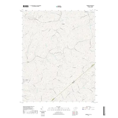
2019 Map of Jamboree
USGS Topo · Published 2019About this map
Jamboree and Fedscreek anchor this portion of the Cumberland Plateau, where the intricate drainage patterns of the Johns Creek and Feds Creek watersheds define the settlement layout. The landscape is characterized by narrow hollows like Pigeonroost Hollow and Fox Hollow, separated by high ridges such as Phelps Old Mount and Hylton Knob. These steep slopes dictated the placement of early mountain roads and homesteads, including those found near Coleman and Dunlap.
Find a feature on this map
102 named features on this map. Tap any name to fly to it.
Don’t see what you’re looking for? This feature index may not catch every label — zoom into the map to look around manually.
Map Details
Editions of this 2019 Jamboree Map
This is the sole edition of this map. No revisions or reprints were ever made.
Other maps of this area

1886 · Grundy
USGS Topo · 1:125,000

1887 · Warfield
USGS Topo · 1:125,000

1890 · Grundy
USGS Topo · 1:125,000

1891 · Warfield
USGS Topo · 1:125,000

1892 · Grundy
USGS Topo · 1:125,000

1909 · Matewan
USGS Topo · 1:48,000

1914 · Hurley
USGS Topo · 1:48,000

1915 · Regina
USGS Topo · 1:48,000

1915 · Hurley
USGS Topo · 1:48,000

1915 · Williamson
USGS Topo · 1:48,000