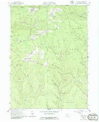
1966 Map of James City
USGS Topo · Published 1986About this map
James City and the surrounding industrial landscape of Elk and McKean Counties define this mid-1960s survey. The region is heavily marked by the extraction industry, with dense clusters of Oil Wells and Gas Wells punctuating the wooded terrain of the Allegheny National Forest. Transportation through these deep valleys was historically tied to the Baltimore and Ohio railroad, which threads through the northern half of the sheet, while an Old Railroad Grade indicates a shifting infrastructure in the southern sections.
Find a feature on this map
44 named features on this map. Tap any name to fly to it.
Don’t see what you’re looking for? This feature index may not catch every label — zoom into the map to look around manually.
Map Details
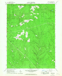
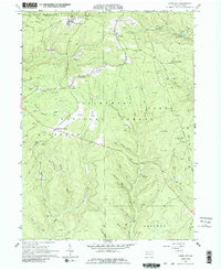
Editions of this 1966 James City Map
3 editions found
Other maps of this area

1934 · Kane
USGS Topo · 1:48,000

1935 · Mt. Jewett
USGS Topo · 1:48,000

1939 · Kane
USGS Topo · 1:62,500

1940 · Hallton
USGS Topo · 1:48,000

1940 · Mt. Jewett
USGS Topo · 1:62,500

1941 · Ridgway
USGS Topo · 1:62,500

1943 · Hallton
USGS Topo · 1:62,500

1944 · Ridgway
USGS Topo · 1:62,500

1957 · Warren
USGS Topo · 1:250,000

1958 · Warren
USGS Topo · 1:250,000
Featured Places
- Lamont, Jones Township
- Wetmore Township, PA
- Ridgway Township, PA
- Jones Township, PA
- Nansen, Highland Township