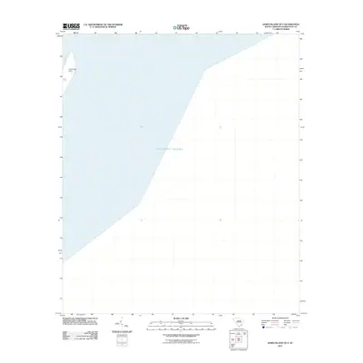
2011 Map of James Island OE E
USGS Topo · Published 2011About this map
Cummings Point stands as the primary terrestrial feature on this coastal survey, marking the northern tip of the landmass within the South Carolina-Charleston Co. area. The map is defined almost entirely by the expanse of the Atlantic Ocean, providing a precise 2011 perspective of the shoreline and maritime boundary. This specific quadrangle serves as a critical geographic reference for the waters just off the coast of Charleston, documenting the coastal interface and the exact position of the point at the beginning of the decade.
Find a feature on this map
2 named features on this map. Tap any name to fly to it.
Don’t see what you’re looking for? This feature index may not catch every label — zoom into the map to look around manually.
Map Details
Editions of this 2011 James Island OE E Map
This is the sole edition of this map. No revisions or reprints were ever made.
Other maps of this area

1919 · The Jetties
USGS Topo · 1:21,120

1919 · Capers Island
USGS Topo · 1:21,120

1919 · Charleston
USGS Topo · 1:21,120

1919 · James Island
USGS Topo · 1:21,120

1919 · Fort Moultrie
USGS Topo · 1:21,120

1943 · Capers Island
USGS Topo · 1:24,000

1943 · Fort Moultrie
USGS Topo · 1:24,000

1943 · James Island
USGS Topo · 1:24,000

1948 · James Island
USGS Topo · 1:250,000
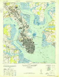
1948 · Charleston
USGS Topo · 1:24,000