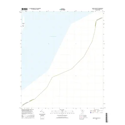
2017 Map of James Island OE E
USGS Topo · Published 2017About this map
Morris Island and Cummings Point mark the limited terrestrial presence on this coastal survey, where the land meets the vast expanse of the Atlantic Ocean. Situated in Charleston County, this map primarily documents the maritime boundary and the shifting coastal geography of the islands that guard the approach to the harbor. The lack of inland development on these features emphasizes their role as natural barriers and points of historical significance on the South Carolina coast. This 2017 edition provides a modern topographic baseline for these sensitive barrier island environments, tracing the shoreline as it existed in the mid-2010s.
Find a feature on this map
4 named features on this map. Tap any name to fly to it.
Don’t see what you’re looking for? This feature index may not catch every label — zoom into the map to look around manually.
Map Details
Editions of this 2017 James Island OE E Map
This is the sole edition of this map. No revisions or reprints were ever made.
Other maps of this area

1919 · The Jetties
USGS Topo · 1:21,120

1919 · Capers Island
USGS Topo · 1:21,120

1919 · Charleston
USGS Topo · 1:21,120

1919 · James Island
USGS Topo · 1:21,120

1919 · Fort Moultrie
USGS Topo · 1:21,120

1943 · Capers Island
USGS Topo · 1:24,000

1943 · Fort Moultrie
USGS Topo · 1:24,000

1943 · James Island
USGS Topo · 1:24,000

1948 · James Island
USGS Topo · 1:250,000
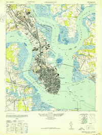
1948 · Charleston
USGS Topo · 1:24,000