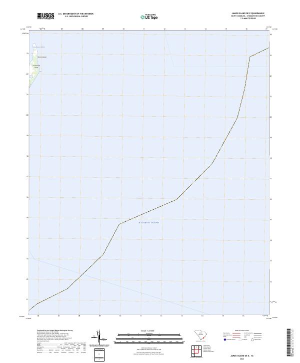
2024 Map of James Island OE E
USGS Topo · Published 2024About this map
Morris Island occupies the northwestern corner of this coastal quadrangle, representing a critical threshold where Charleston Harbor meets the open Atlantic Ocean. The landform is dominated by the northern stretch of the island, terminating at Cummings Point, a geographic landmark of significant strategic importance at the entrance to the harbor. The remainder of the map is a maritime study of the Atlantic, providing a clear visualization of the modern shoreline and the coastal waters just off the South Carolina coast as they appeared in 2024. The layout emphasizes the island's isolation from the mainland, highlighting its role as a natural barrier and sentinel for the shipping lanes leading into Charleston.
Find a feature on this map
4 named features on this map. Tap any name to fly to it.
Don’t see what you’re looking for? This feature index may not catch every label — zoom into the map to look around manually.
Map Details
Editions of this 2024 James Island OE E Map
This is the sole edition of this map. No revisions or reprints were ever made.
Other maps of this area

1919 · The Jetties
USGS Topo · 1:21,120

1919 · Capers Island
USGS Topo · 1:21,120

1919 · Charleston
USGS Topo · 1:21,120

1919 · James Island
USGS Topo · 1:21,120

1919 · Fort Moultrie
USGS Topo · 1:21,120

1943 · Capers Island
USGS Topo · 1:24,000

1943 · Fort Moultrie
USGS Topo · 1:24,000

1943 · James Island
USGS Topo · 1:24,000

1948 · James Island
USGS Topo · 1:250,000
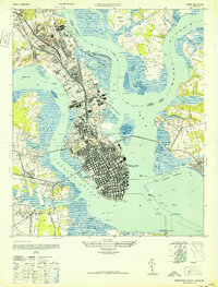
1948 · Charleston
USGS Topo · 1:24,000